Eyeclimate
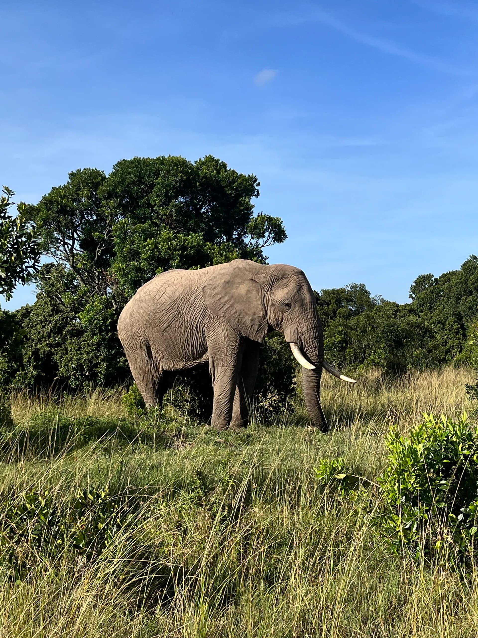
Elephant in its natural habitat

Product · WildlifeMapper

See every animal.
From the air.

AI-powered wildlife and cattle monitoring from aerial imagery. For conservation organizations, researchers, and land managers who need accuracy at scale.

Request a demo  →

30k+

Animals identified

200

km² surveyed

Multi

Species detection

CVPR

Peer-reviewed

01  /  Overview

Aerial AI for every animal.

Eyeclimate helps conservation organizations, researchers, and land managers detect and identify animals at scale — using transformer-based models built for aerial survey imagery.

Built for accuracy, scalability, and real-world impact.

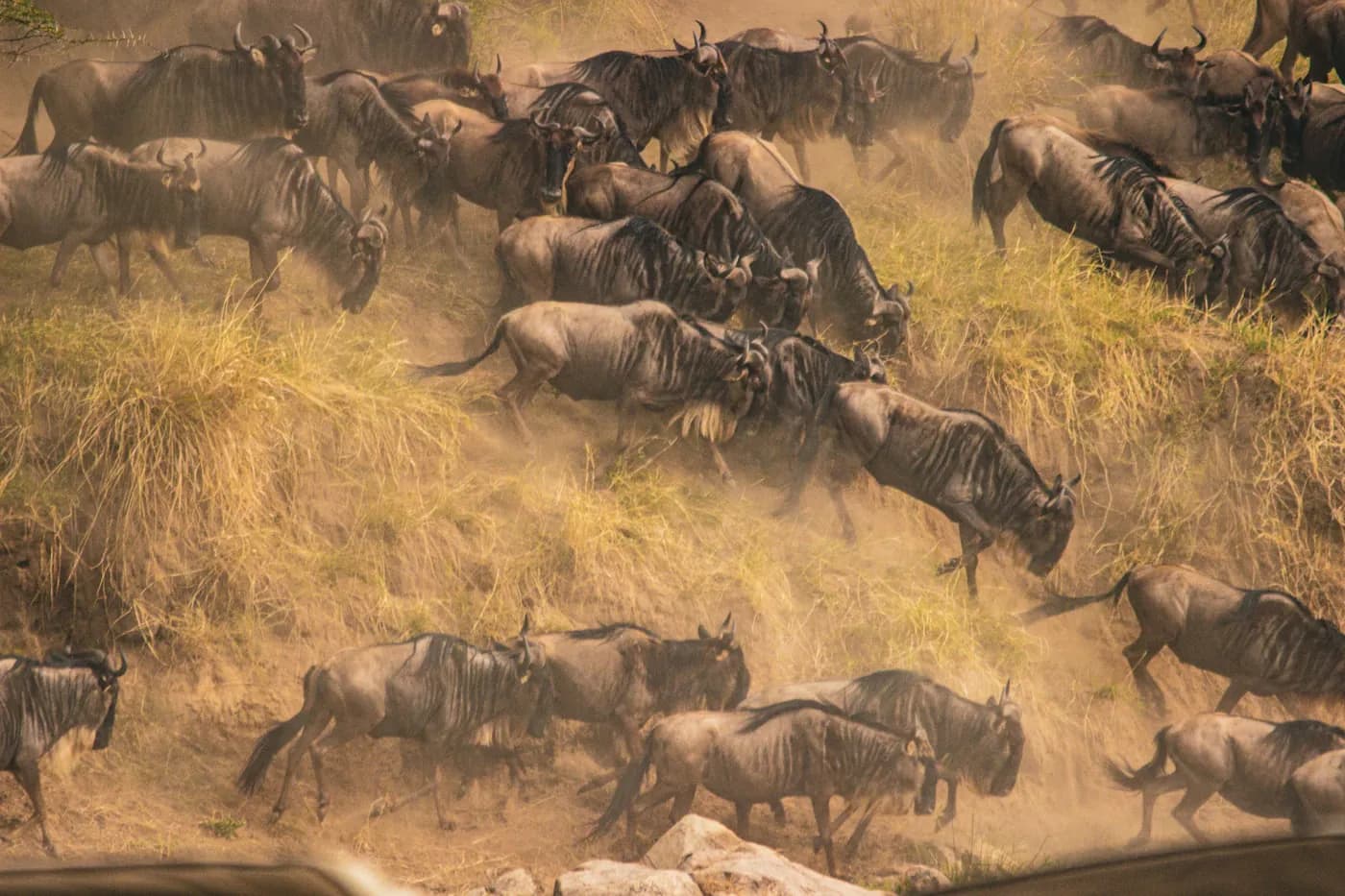
Wildebeest herd viewed during an aerial survey

02 · WildlifeMapper

Multi-species detection.

Detect and identify multiple wildlife species from aerial imagery with transformer-based precision. Built for large-scale surveys, not individual sightings.

Model
Transformer-based
Input
Aerial survey imagery
Capability
Multi-species detection

Read the WACV paper →
Herd counted from aerial imagery
Built on WildlifeMapper

03 · CattleMapper

Every head, counted.

A WildlifeMapper specialization for livestock.

Track cattle populations at scale using drone imagery and AI built for rangeland and livestock management.

Platform
Drone imagery
Output
Population counts
Built for
Rangeland · Livestock
See CattleMapper in action →

04  /  Featured deployment

Proven at the Mara.

The WildlifeMapper transformer architecture — the largest deployment of aerial wildlife survey AI to date.

WACV · 2023Real-world deployment

WildlifeMapper: A transformer-based detection model for aerial wildlife survey imagery

S. Kumar et al.  ·  UC Santa Barbara & Stanford

Cross-platform AI identified 30,000+ individual animals across a 200 km² survey area in the Maasai Mara — the largest WildlifeMapper deployment to date.

Read paper  →

Key result

30k+

Individual animals identified

Across a 200 km² survey area in the Maasai Mara. The largest WildlifeMapper deployment to date.

200

km² surveyed

Multi

Species

1st

Of its scale

05  ·  Applications

Who uses it.

Four audiences deploying WildlifeMapper today.

01

Use case

Conservation & protection

Aerial multi-species detection for parks, reserves, and endangered species monitoring programs.

PARKS · RESERVES · ENDANGERED

02

Use case

Academic research

Transformer-based detection for ecological surveys, population dynamics, and behavioral studies at scale.

ECOLOGY · WACV · OPEN

03

Use case

Land management

Continuous survey coverage for park rangers, ecosystem managers, and public-land agencies.

RANGERS · AGENCIES · ECOSYSTEMS

04

Use case

Rangeland & livestock

CattleMapper — the WildlifeMapper specialization — for population counts on grazing land.

RANCHING · LIVESTOCK · DRONE

Let's solve your hardest problem

Bring us a landscape, a species, or a survey challenge. We'll show you what is possible.

Book a demo  →

Customers & collaborators

ScepterAir Inc.
Mara Elephant Project · Kenya
Safisha Nchi Ltd · Kenya
Safisha Nchi Ltd
Pergam Italia
SpectraView Inc.

Academic institutions

Stanford University
UC Santa Barbara
Smithsonian National Zoo & Conservation Biology Institute
IIT Delhi
IIT Kanpur

Supporters

Mozilla Foundation
CNSI · UCSB
Schmidt Science Foundation
Google for Startups
NVIDIA Inception
GWC · Global Wildlife Conservation