Eyeclimate

Building Intelligence for Earth Observation

We turn satellite, airborne, and ground-sensor data into decision-ready intelligence. Built by researchers, validated against real-world emissions, wildlife, and air quality.

Book a demo  →

Drag to rotate · Scroll to zoom

01 / Solutions

One platform. Multiple applications.

01Methane Detection

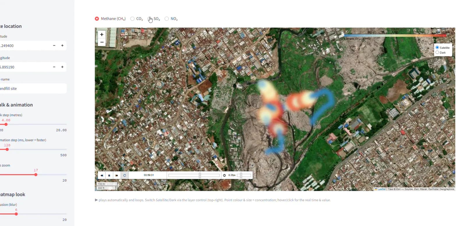
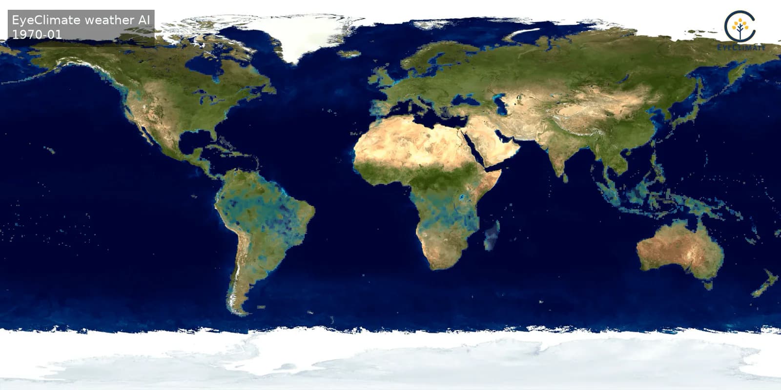
Methane observations mapped from Earth observation data

One Platform, Multiple Sensing Modalities

Eyeclimate's methane detection spans satellites for wide-area screening, airborne sensors for high-resolution mapping, and ground systems for site-level quantification. This multi-scale stack moves operators, regulators, and stakeholders from detection to verification to action.

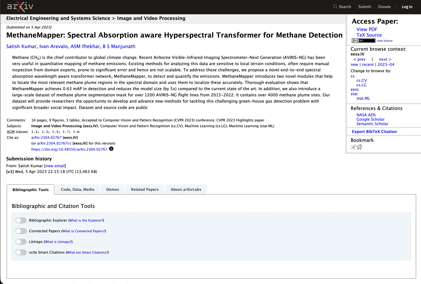
Explore MethaneMapper ↗
Spaceborne Methane Detection

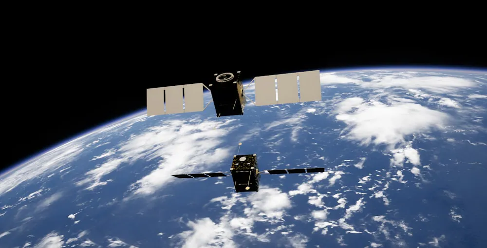
Spaceborne Methane Detection

For basin-scale methane surveillance, regional emissions monitoring, climate reporting and large infrastructure networks.

Read case study →
Aircraft, stratospheric, and drone-based sensing

Aircraft, stratospheric, and drone-based sensing

Pipeline and infrastructure surveys, oil and gas field monitoring, drone-based inspection programs and rapid response emissions mapping.

Read case study →
Ground-Based Methane detection

Ground-Based Methane detection

Oil and gas production sites, compressor stations and processing facilities, inspections and continuous emissions programs.

Read case study →

02Wildlife Detection

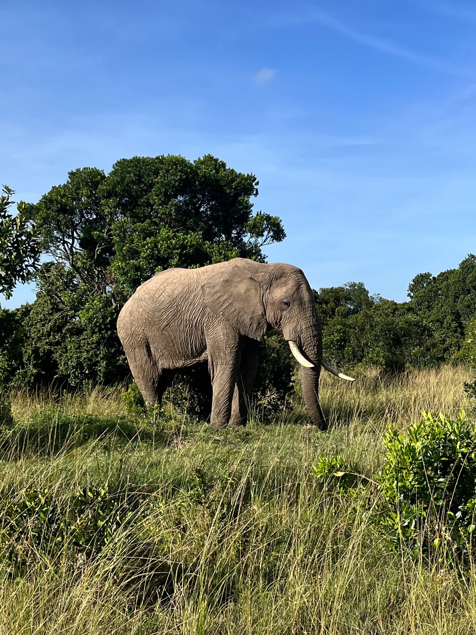
Elephant in a savanna habitat

Product · Wildlife Detection

We help conservation organizations, researchers, and land managers detect and identify animals at scale using advanced transformer-based models built for aerial survey imagery. From multi-species wildlife monitoring to cattle tracking. Solutions designed for real-world accuracy.

Explore product ↗
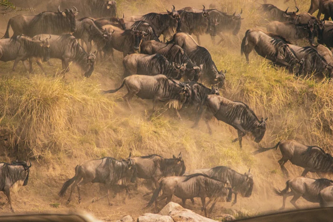
Wildebeest herd

WildlifeMapper

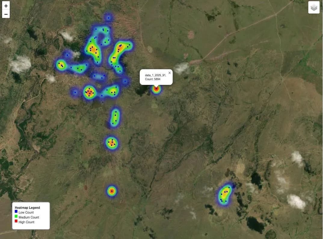
Detect and identify multiple wildlife species from aerial imagery with transformer-based precision.

Explore product
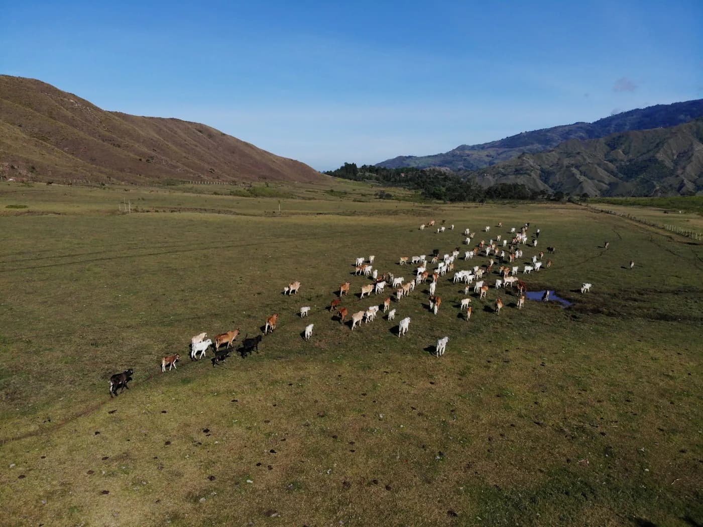
Cattle observed from the air

CattleMapper

Track cattle populations at scale using drone imagery and AI built for rangeland and livestock management.

Explore product

03Coming soon

Our next product

Aurora over a dark landscape
Coming soon

The next lens
on our planet.

Something new is coming into focus. Our next product turns quiet signals in Earth observation data into decisions you can act on.

02 / What we do

From raw signals to decisions you can act on

01

Decision-ready outputs

Counts, emissions, rankings, and alerts that plug directly into operations and reporting.

Decision-ready outputs illustration

02

Multi-scale coverage

The same platform works from global overviews down to asset- or site-level detail.

Multi-scale coverage illustration

03

Seamless integrations

Web dashboards, GIS layers, APIs, and exportable reports that fit your current tools and workflows.

04

Science-backed

Every product is grounded in peer-reviewed research and validated against ground truth.

Science-backed illustration

03 / Mission & Research

Built on peer-reviewed science

Eyeclimate exists to close the gap between climate research and climate action. We believe the data already exists to make better decisions. What's missing is the infrastructure to turn raw observations into something operators, regulators, and conservationists can actually use.

Our methods are published in the venues that matter and validated against ground truth.

12+

Peer-reviewed publications

1.4k

Citations

5+ yrs

Research experience

3

Top-tier venues

Selected publications

View all →

04 / About us

Meet the team ↗
Satish Kumar

Satish Kumar

Founder & CEO
Remote sensing · AI · UCSB & Stanford

“We are researchers who can solve any problem in the context of environmental monitoring. Empiricists who can turn unsolved problems into unique, innovative and state of the art solutions backed by research.”

05 / Why choose us

End-to-end. Clean, ready to use data

Field-Validated Models

Tested on real methane leaks, air pollution, and wildlife surveys

Award-Winning Innovation

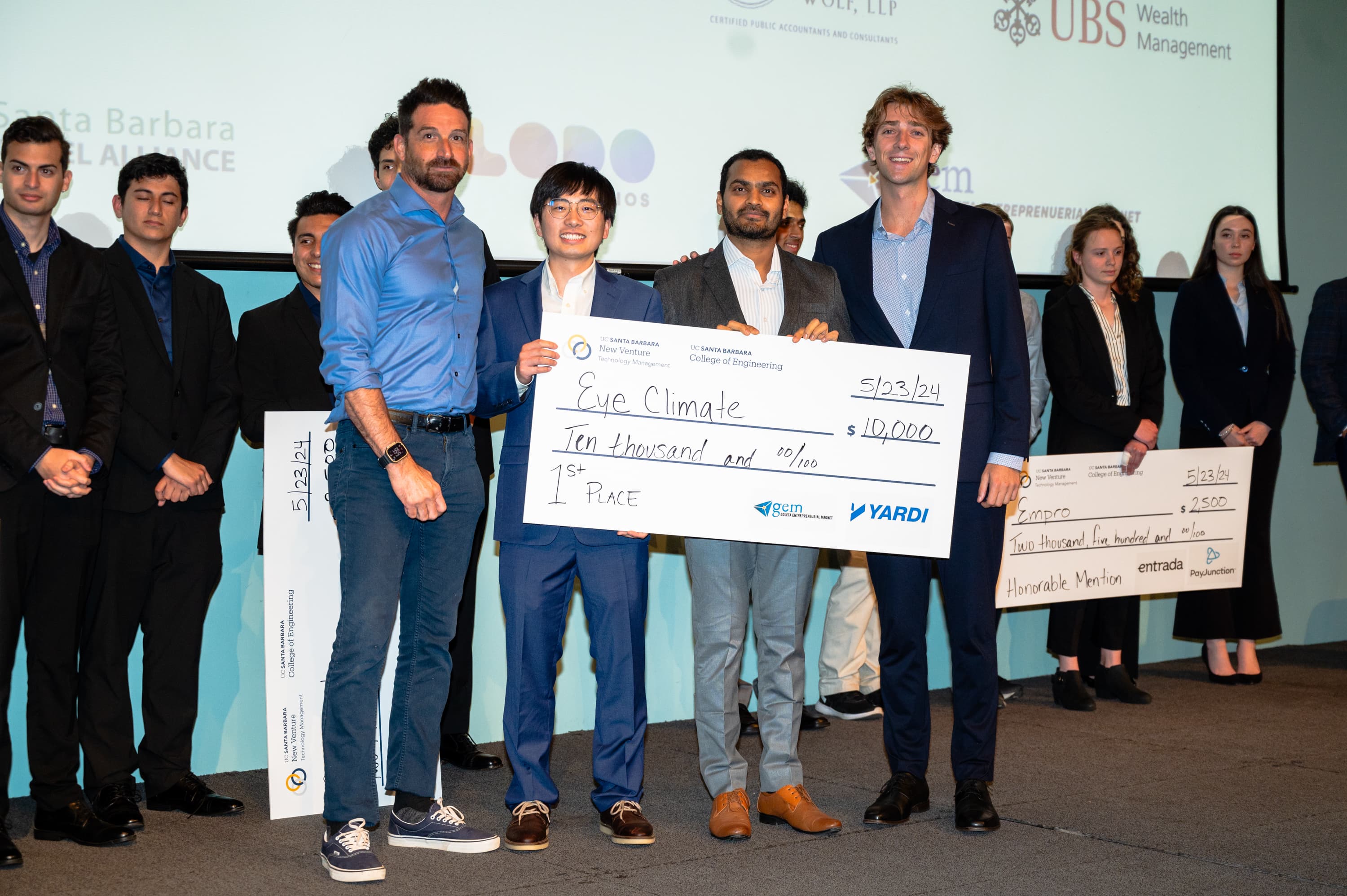
Including UCSB New Venture Competition 2024

Peer-Reviewed Science

Transparent methods that lead us to measurable impact

Years of Research experience

Experience in satellite AI, climate analytics, and remote sensing

Featured use case · MethaneMapper

Detecting and quantifying methane sources in a complex multi-emission site under high winds.

Evaluating MethaneMapper on NASA JPL's AVIRIS-NG hyperspectral data — 426 spectral bands, 25 km flight line, multiple overlapping plumes, 4+ m/s winds.

426

Spectral bands

<4min

Processing

30–250kg/h

Range detected

Read the full case  →
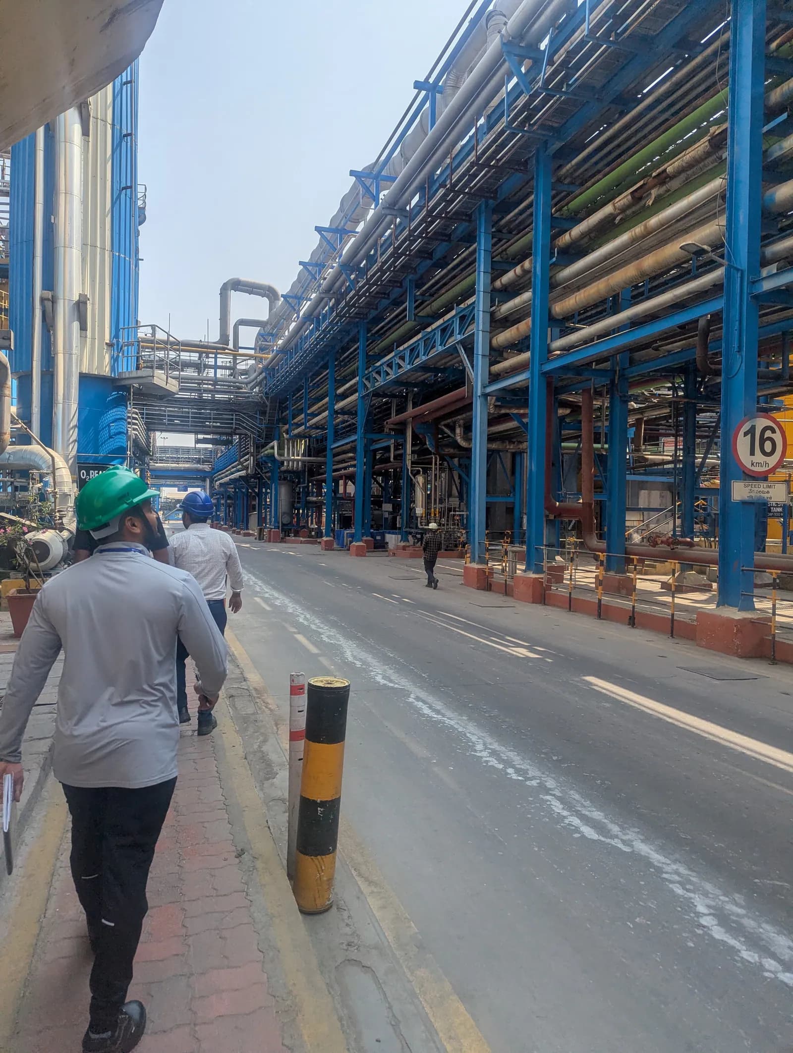
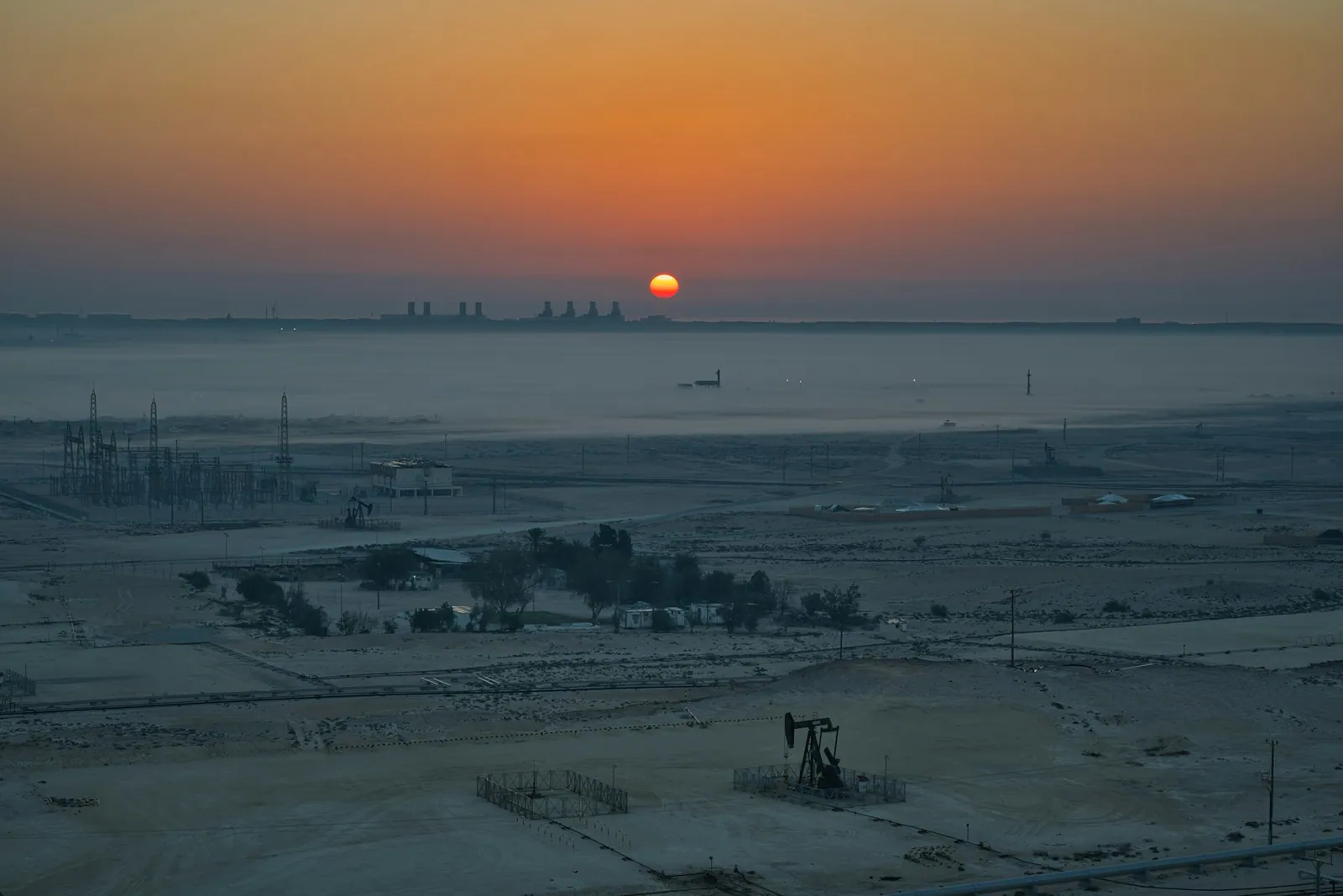
Industrial landscape at sunrise

06 / Latest

News & research.

EyeClimate Recognized by Mozilla Foundation for Environmental Justice
NewsSeptember 8, 2026

EyeClimate Recognized by Mozilla Foundation for Environmental Justice

EyeClimate has been recognized by the Mozilla Foundation as an awardee for environmental justice! Read about how MethaneMapper uses open source AI and overhead hyperspectral imaging to bypass easily fooled ground sensors and stop underreported methane leaks.

Let's solve your hardest
problem

30 minutes with our team. Bring a dataset, a question, or just curiosity. We'll show you exactly what's possible.

Book a demo  →

Customers & collaborators

ScepterAir Inc.
Mara Elephant Project · Kenya
Safisha Nchi Ltd · Kenya
Safisha Nchi Ltd
Pergam Italia
SpectraView Inc.

Academic institutions

Stanford University
UC Santa Barbara
Smithsonian National Zoo & Conservation Biology Institute
IIT Delhi
IIT Kanpur

Supporters

Mozilla Foundation
CNSI · UCSB
Schmidt Science Foundation
Google for Startups
NVIDIA Inception
GWC · Global Wildlife Conservation